 Antiques (US)
-
$175.00

 1777 Antique Map Region of Languedoc, Foix, Roussillon and Rouergue by Zatta
-
$100.38
 1716/1754 - Framed Print Antique Map of Sussex by John Speed
-
$150.56
 Framed Original 1787 Antique Map Of South Britain.John Cary.Frame 47cm x 37cm
-
$50.00
 1748 Chart Of The Baltic Sea By T. Jeffery, Geographer To The Prince Of Wales
-
$54.00
 Autriche Austria M. BONNE ENGRAVED MAP 1769 Hydrographe Marine 16x12" Framed
-
$195.00
 ANTIQUE COPPER ENGRAVED MAP 18th Century France Military J.B. Nolin French
-
$25.00
 ca.1789 Antique ENGLAND AND WALES Map, Colored Copperplate Engraving, John Cary
-
$50.00
 WINDERMERE LAKE Plate Map William Gilpin Observations on Picturesque Beauty 1808
-
$397.00
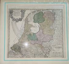 Antique Map of Holland, circa 1748, Etching,Hand Colored, Hooman Heirs,Hollandia
-
$35.00
 Antique folding map Novaya Zemlya, Arctic Ocean. Nicolas Bellin 1758 engraving.
-
$169.38
 Map Of The Netherlands 1782 By JEFFRIES
-
$1191.97
 LONDON 1744 PUBLISHED WATERCOLOUR ANTIQUE MAP OF EAST AFRICA BY EMAN BOWEN
-
$160.00
 1793. Map of the Swedish Empire with the Lapplands


