 Antiques (US)
-
$126.94

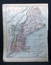
 Original 1866 MAINE Antique hand colored JOHNSON's MAP 26.5 X 18"
-
$32.00
 1879 Map Maine United States New England Victorian Geography 1st Edition DWAA9
-
$29.95
 Vintage Reproduction of 1861 New Sharon Maine Map - 33.5x22 inches
-
$32.00
 1879 Map New England USA Victorian Atlas Harpers Geography 1st Edition DWAA9
-
$39.00
 1878 Maine Mitchell antique map 15.1" x 12.1" - nice color
-
$500.00
 1840 United States antique map by Greenleaf - 14.2" x 12" scarce 1st edition
-
$500.00
 1845 North America map by A.K. Johnston 25.8" x 21.2" Antique Republic of Texas
-
$175.00
 1840 Maine antique map by Greenleaf ~ 14.25" x 11.9" scarce 1st edition
-
$15.00
 1884 New England States USA Harper and Brothers Copyright 1875 Map Ephemera
-
$85.00
 1876 North Eastern States antique map ~ 27.3" x 19.6" hand colored NY MD PA ME+
-
$237.55
 Maine early state map 1838- 1840 Bradford & Boynton engraved old color Framed
-
$6.95
 Vintage Hammonds 1911 Atlas Map Of The United States And Maine
-
$75.00
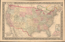 1860 United States & Territories by Mitchell beautiful antique map 22.7" x 14.7"
-
$25.00
 1856 Black's Canada New Brunswick map 17.2" x 12.6" - beautiful antique color
-
$1895.00
 Antique 1755 Map ~ British & French Dominions North America ~ Mitchell / Throop
-
$55.00
 1860 Maine Mitchell antique map 15.1" x 12.5" vibrant hand color Portland Harbor
-
$25.00
 1901 Tunison Massachusetts Rhode Island antique map ~ 23" x 14.6" - nice color
-
$200.00
 1845 Canada map by A.K. Johnston ~ 25.8" x 21.2" Antique Pastel Huge
-
$69.99
 1790/1899 Antique Land Survey Map By Ephram Ballard Of Town Of New Sharon Maine
-
$24.00
 CIRCA 1930'S MAP PORTLAND, SOUTH PORTLAND & WESTBROOK MAINE~PUBL MILLER & LORD
-
$25.08
 1865 Good size antique SDUK / Walker Map: East Canada, New Brunswick, Maine


